Saturday, 1 November 2014

Day 40 - Klein Aus to Betta (1/11)

A spot of rain, and a rather overcast day for a change. We drive out along the route of D's walk yesterday afternoon


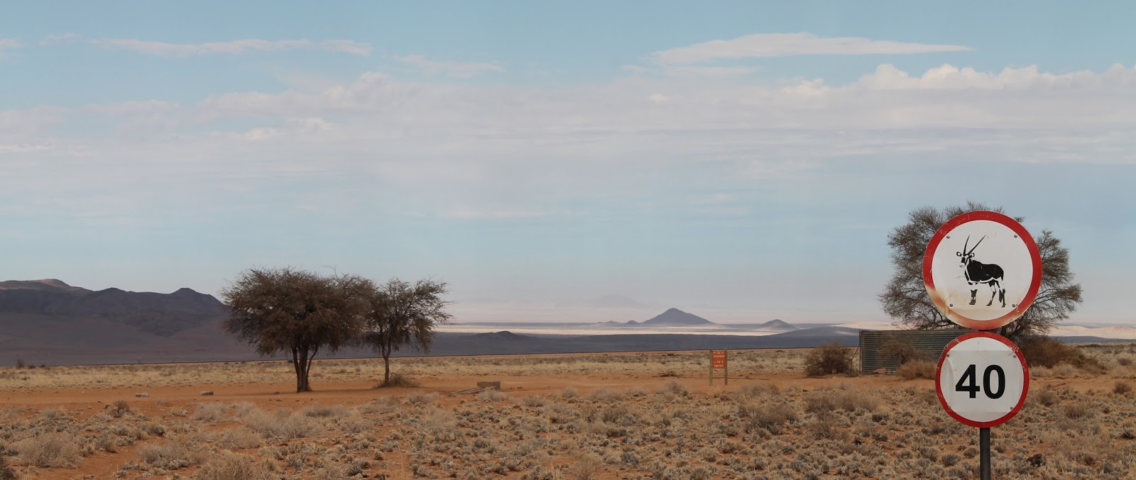
and see road signs warning of kudu 


and oryx 


in perfect detail!  Not much call for these - surely hand-made?

We're tempted off the C13 onto a (yet more) "minor" road by a sign for "Tiras Biosphere".  There's gorgeous scenery - stone giving way to sand, with tufty yellow-green plants and the magnificent Naukluft mountains


but it remains a mystery as to what the Biosphere was as we saw no trace! 

We pass various campsite though we don't stop as it's still early; when, eventually, we choose what looks a fine spot and follow the path (through lots of gates which I have to get out to open...), the site has a fine view but also a huge wasps' nest in the shower-room. Maybe not ideal for the night - fingers crossed for another place.

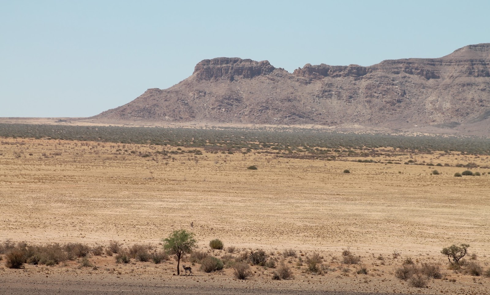
Meanwhile, not another car for miles (so much so that, when you meet another vehicle, you're moved to wave or flash your lights : "Greetings! fellow human").  The roads are rutted and sandy but the views are magnificent - red sand dunes on one side and hills the other, and lots of huge weaver bird nests which will do for the host tree sooner or later,

Eventually, here's the little village of Betta, and its "garage campsite" is a pleasant shaded area


Friday, 31 October 2014

Day 39 - Naute Dam to Klein Aus (31/10)

Happy Hallowe'en (not a lot of ghouls or beasties here!)


Up just after dawn for views of the dam and bird-life stirring.  Then the long straight road 


towards next place of any size (for a post office at last, let alone provisions) is Aus - though we stop first at another Commonwealth cemetery where, mysteriously, poor German souls look to have died after the war ended


The tiny information centre in town sheds light on why so many German soldiers died in Nov 1918 : on the German surrender in 1915, a POW camp had been established close by, and a 'flu epidemic in Autumn 1918 wiped out both German prisoners and South African guards. What a way to end your war.

On the road from Aus west towards Luderitz on the Atlantic coast is the Garub pan which attracts Namibia's population of local wild horses


You're warned not to leave your car or go a-wandering off the road as cuts through "the forbidden zone" - namely where the diamond mines are!  Later we see helicopters tracking the road - hopefully  scenic tourist flights rather than men with guns... 

The road views are spectacular and, on our return to camp, D climbs one of the surrounding hills for a view – super shots of the camp and the pan


Thursday, 30 October 2014

Day 38 - Gondwana NP to Naute Dam (30/10)

Final views of Gondwana NP. 


Along the road, we see signs for "biltong" and "kudu pies" - who could need more invitation to investigate?  It turns out to be a well-stocked farm-shop manned by a Cape Town girl, married to a Namib boy and planning a campsite.  Sadly, all of the 90 pies which she baked on  Sunday had gone but at least there's home-made kudu biltong.

Further on, we see a road to the Naute Dam; past wide green Naute grape-fields, we find a campsite with a great view across the water (and dam wall) and surrounding hills and a single shaded plot.


Apart from the occasional German tourist passing by, we're left all alone with the sunset and then the white shining moon

Wednesday, 29 October 2014

Day 37 - Ai-Ais to Gondwana National Park (29/10)

It's been a nice quiet day (apart from an early baboon raid when D left the car door open to air for 2 minutes) 
 
 
We retraced our steps to the Roadhouse hotel and campsite in Gondwana NP,
 
  
 D took a walk up a nearby hill 
 
 
while I lazed by the teeny-tiny, v cold, pool while trying to upload a few pics and watched the local bird life.


Tuesday, 28 October 2014

Day 36 - Ai-Ais (28/10)

We're leaving the views of the canyon for Ai-Ais (literally "burning water") hot springs which is on the canyon on the banks of the Fish River.  One last pop to the main viewing point, where we get some more perspective on size


On the DR324 to Ai-Ais, mountain zebras as we stop to admire the rockface,


nest in quiver tree


and lots of 4x4s charging along too fast - duuuusty!

Boulders and piles of rubble lie around - it looks like a building site, with glimpses of hills through the mounds every now and again.

Eventually a green patch - trees and bushes, and we're at Ai-Ais.


Not unexpectedly, there are thermal baths here so, for the princely sum of N$10 (50p), we have a soak - and then a cold shower (hot baths not being required when it's 90 outside!)


Knocking together a spot of lunch, S is the hapless victim of baboon robbery-with-menaces from the picnic table (he makes off, lightning-fast, with his swag bag full of still-wrapped-up loaf of bread, four rusks and a handful of travel-sweets, wrappers and all!)  Bold as brass and with big shiny-sharp teeth bared when I clap and shout at him (none of which has much impact so I decide that retreat is regrettable but inevitable).  Let's hope he gets indigestion.

On the plus side, D has espied eland steak on the restaurant menu - turns out to have been yesterday's offering but tonight it 's springbok and the chef understands what we mean by "rare please" - it's perfectly cooked and with nice potatoes, cauliflower and (little bit unusual) beetroot. Outstanding if belated birthday dinner.

Monday, 27 October 2014

Day 35 - Fish River Canyon (27/10)

The Canyon road is stony and twisty and gives magnificent views down 500m into Fish River bed (where just a glimmer of water is visible around the classic postcard shot of an Isle-of-Dogs horseshoe).


We start off at the platform where all tourist buses congregate (though, to be fair, even busy isn't busy by normal standards), 


then work our way along to a further vantage point which is less well frequented


and then pick our way the length - probably 20km each way - along the canyon-rim, mainly on 4x4 roads and mostly with terrific scenes of the canyon or surrounding areas.  The actual river winds southwards for about 85km along to Ai-Ais hot springs; in season - i.e. when you don't risk frying to death or being washed away in the rare event that it rains - you can hike the river bed/canyon floor over 4-5 days to Ai-Ais.


Gorgeous


via Sulphur Springs and Southern lookouts (got so excited, we resorted to selfies again!)


It's windy now for tonight's braai but it takes surprisingly well, burning fast; a silver of a moon is shining in the east as the sunset sky burns.

Sunday, 26 October 2014

Day 34 - Quiver Tree to Gondwana Park via Klein Karas Mountains (26/10)

Goodbye forest (you won't be shocked to hear that we completely missed the pre-6am sunrise). The sun was in full swing by the time we made it to the "Giants' Playground" of huge balanced stones (apparently left after the sediment which acted as mortar has been blown/washed away) - reminds us a bit of Zimbabwe (but it's a poor imitation - we've been spoiled!)


Our stock-up/refuel spot is Keetmanshoop (somewhat smaller than expected given this is the gateway from S Africa) - at least it has a cathedral and former German East Africa PO.


Last sighting of B1 for a while as we turn onto DR ("Dirt Road"?!) 608 for 118km of rollercoaster gravel, sand


could easily be Colorado or Arizona.


The purpose of coming down here is the canyon of Namibia's longest river, the Fish River which (though a bit smaller than the Grand Canyon - it's not even the biggest canyon in Africa apparently, that's in Ethiopia) is supposed to be spectacular.  We'll see tomorrow